Interactive Web Maps
Welcome to the Jefferson County interactive web map gallery. To open a map, select from any of the applications below.
jMap
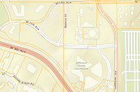
Locations and information about Jefferson County properties, streets, addresses, hazards and open space.
ASPIN
Locations and information about properties and parcels.
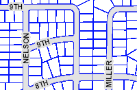
Planning & Zoning
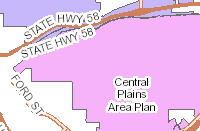
Publicly available locations and information about planning and zoning.
Transportation
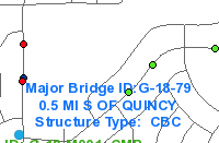
Publicly available locations and information about Transporation and Engineering.
Parks & Open Space
Public web application for Jeffco Parks & Open Space.
GIS data can be downloaded from the Jefferson County
ESRI Open Data website.
Standard maps in PDF format can be downloaded from
Maps of Jefferson County.
You can contact the Jefferson County IT Services GIS team at
GIS@jeffco.us or (303) 271-8887 M-F
7:30 – 4:30.
Having trouble accessing the data? Request a
digital accessibility accommodation.